
Walk your site from anywhere.
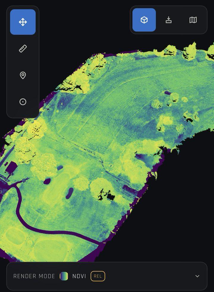
We fly your site, analyse the capture with our AI pipeline, and build a 3D digital twin that agronomists and greenkeepers can walk on any phone or tablet.
Fly, analyse, walk.
A pilot flies your site
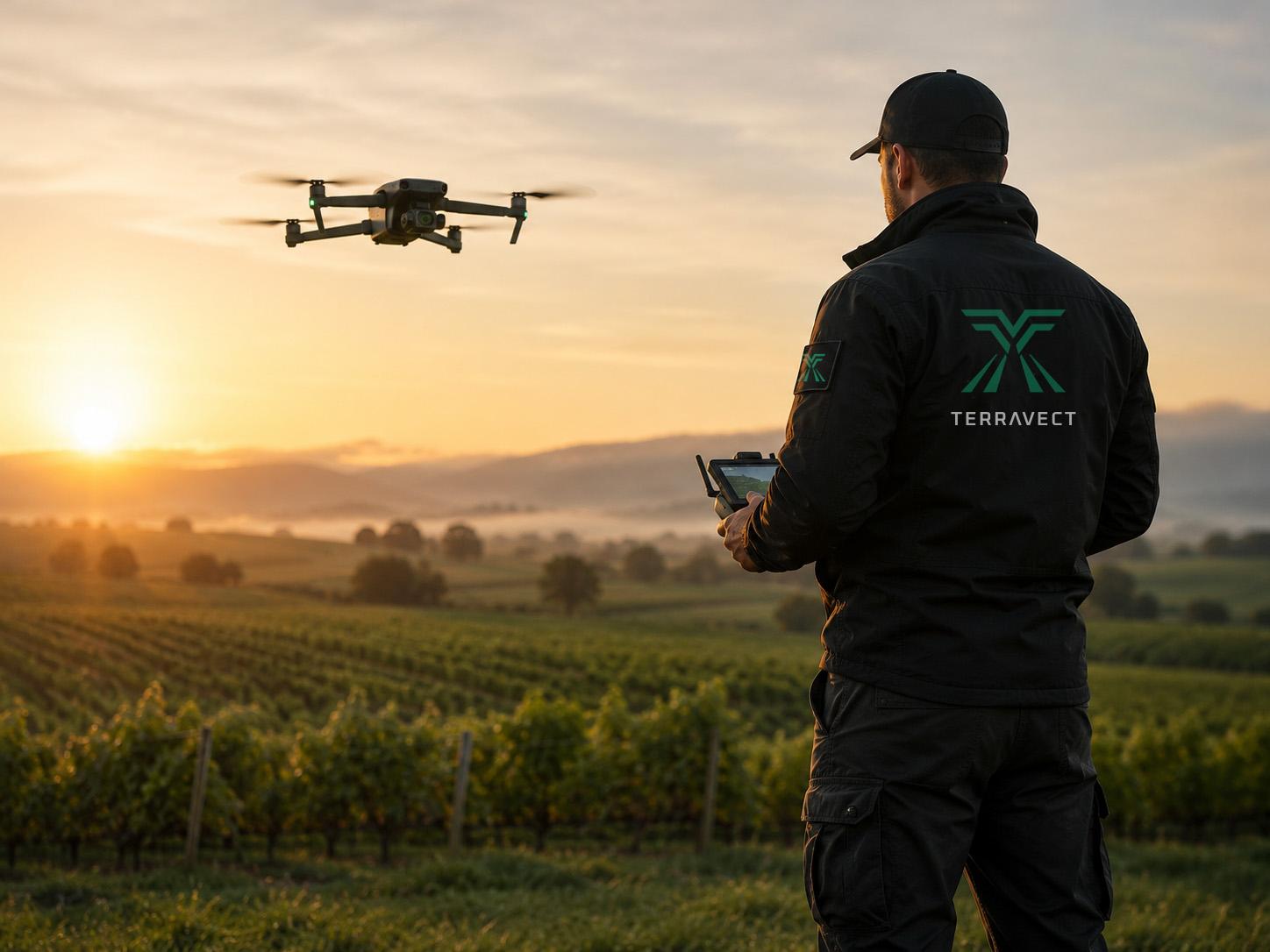
A trained pilot from the Terravect Pilot Network captures the site in a manual flight, within visual line of sight.
AI reads the capture
AI analysis flags signs of stress, disease and water issues, and marks where on the site they are.
You walk the twin
The flight becomes a 3D digital twin of the site. Open it on any mobile device and walk it remotely.
The site in your pocket.
Check a green, a pitch or a vineyard block without driving out to it. The AI findings sit on the twin where they were found, so you can see what’s wrong and where.
Built for the people who look after the ground.
Greenkeepers and turf managers
Golf clubs, football grounds and training complexes, where turf problems are visible and costly.
Agronomists and growers
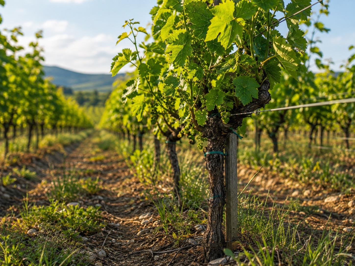
Vineyards and other crops, where catching a problem block by block saves the rest of the field.
We start with pilots.
Every flight is flown by a trained pilot based near your site. You don’t need your own drone or licence.
Where it’s heading.
Today’s service is the first phase. Automation follows in stages, as the technology and UK regulation allow.
Piloted flights, AI analysis, digital twin
Manual flights by the Pilot Network, AI-powered analysis, and a walkable 3D twin on mobile.
Towards automated drone operations
Several phases of development, working towards fully automated flights.
Tell us about your site.
Terravect is open for beta testing. We’re taking on a small number of beta partners across Northern England — tell us what you grow or manage and roughly where it is, and we’ll be in touch to talk through a survey.
Register your interest on the Terravect site, or write to hello@terravect.co.uk with the same details.